Description
TRINITY PRO DRONE
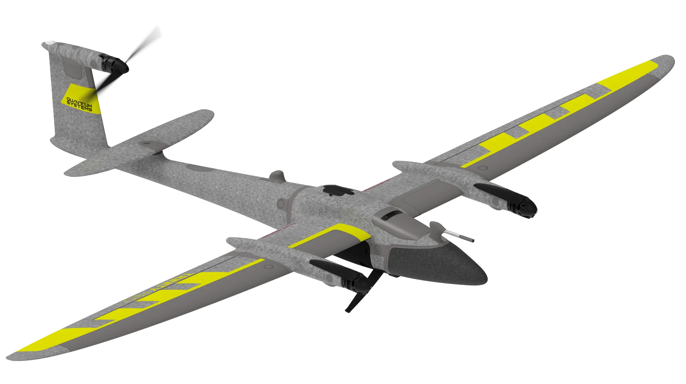
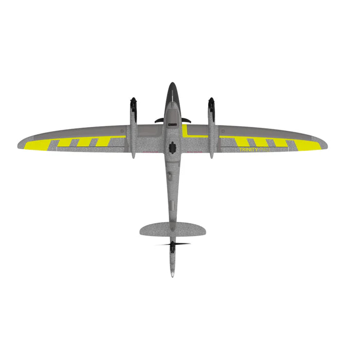
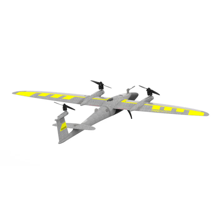
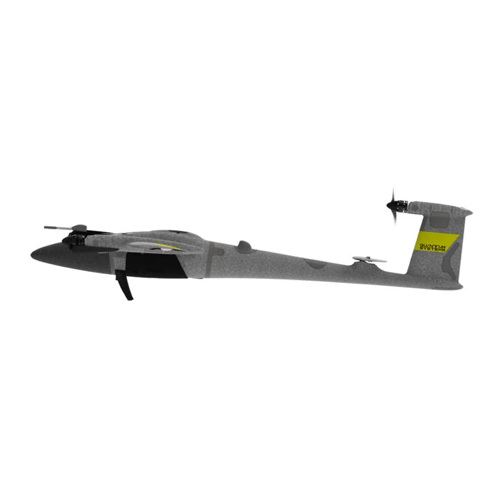
Trinity Pro is a future-proof mapping drone designed to adapt to changing requirements and accelerate decision-making through advanced aerial data.
It features an extended flight time of 90 minutes and easy to use mission planning software QBase 3D. The choice of integrated cameras is unrivaled – RGB, Oblique, Multispectral and even LiDAR – making it the right tool for any mapping application.
Ready for tomorrow
The Trinity platform was introduced to the market in 2018. With more than 60,000 flight hours on a global scale, it has proven its performance, accuracy, and reliability. The Trinity Pro incorporates the latest technology with the Quantum-Skynode autopilot and the Linux mission computer. This technology delivers increased computing power and internal storage, as well as enhanced connectivity onboard the aircraft. Not only does this allow downstream integration of next generation cameras, but also of logging, simulation and AI capabilities. These integrations will change the way you interact with your data by reducing processing steps and office time, and provide answers quickly and accurately.
Accomplish your missions with ease
The Trinity Pro, combined with our proprietary mission control software QBase 3D, form a completely integrated system.
During field operation, Trinity Pro gives the operator peace of mind. The Quantum-Skynode flight control stack has the latest safety features, ensuring the UAV is flying in the safest possible way, including automatic self-diagnostics, terrain awareness, wind simulation, and AI powered “return to home”.
Potential detected risks are reported during mission planning and before take-off, reducing the risk of an adverse event during flight.
Industry-specific software connections in QBase 3D makes post-processing work simpler. The user can create application-specific reports and analyses without having to spend time establishing new and complicated processes.
QBase 3D
Trinity Pro and our QBase 3D software form a completely integrated system that lets you plan and execute your missions with ease. Benefit from cutting-edge safety features such as extensive pre-flight checks, automatic wind simulation and advanced terrain following.

Specs
- Max. Take-off Weight 5.75 kg (12.7 lbs)
- Max. Flight Time 90+ min
- Max. Range = Area Maximum Flight Altitude (MSL) 5500 m (18045 ft)
- Command and Control Range 5– 7.5km (3.1–4.7 mi)
- Optimal Cruise Speed 17 m/s (33 kn)
- Wind Tolerance Hover Phase (take-off/landing)up to 11 m/s (21.4 kn)
- Wind Tolerance Continuous (cruise) 14 m/s (27.2 kn)
- Wind Tolerance Gusting (cruise) 18 m/s (35 kn)
- OperatingTemperature Range -12°C to 50 °C (10.4 °F to 122 °F)
- Wingspan 2.394 m (7.85 ft)
- Transport Case (39.4 x 32.7 x 10.6 inch) 1002 x 830 x 270 mm
- IP Ingress Rating IP 55
- Subject to export regulation, may require export permission. Limited to 59 min by default.
- Please be aware that the flight time and max. wind tolerance are reduced with increasing flight altitude. Varies based on weather conditions; tested at 15 °C (59 °F). For further details read the user manual.
- Please be aware that the max. wind tolerance is reduced with increasing flight altitude.
- Subject to export regulation. Limited to 12.8 m/s or 24.88 kn by default.
In The Box
- Trinity Pro Drone x1
- ibase Reference GNSS Base Station x1
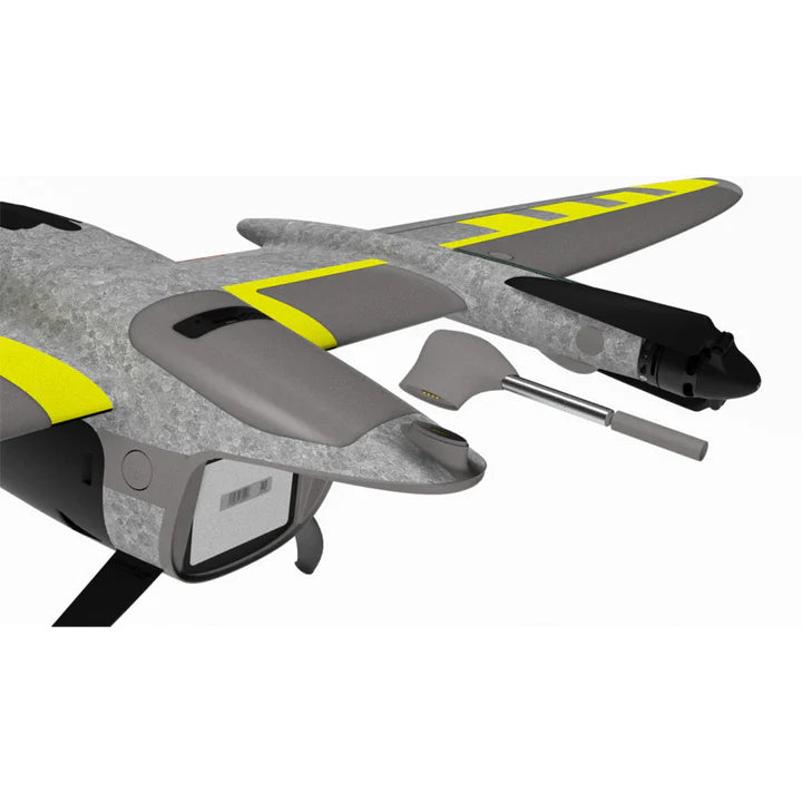
- Air Data Probe x1
- QBase 3d Software - Ground Control Station x1
- Manual Controller x1
- Battery Pack x1
- Charging Unit x1
- Anemometer x1
- Lightweight Transport Case x1
Cameras and Sensors Sold Seperately
