Cellular Towers
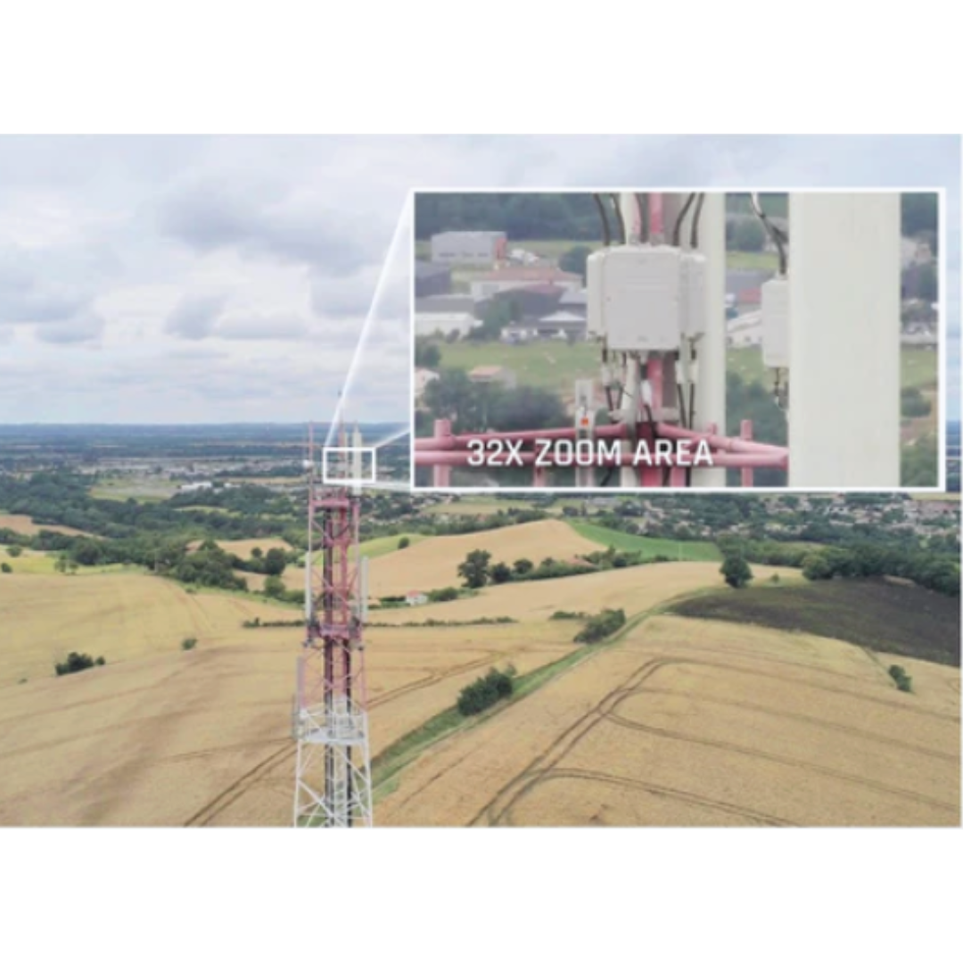
Using drone services for tower inspections offers a revolutionary way for utility companies to streamline their operations, save valuable time, and cut costs significantly. The traditional methods of inspecting towers—often requiring expensive scaffolding, cranes, or manual climbing—are not only time-consuming but also involve a higher risk to safety and operational efficiency. By leveraging advanced Unmanned Aerial Vehicle (UAV) technology, utility companies can transform their inspection processes, making them faster, safer, and more accurate than ever before.
Power Lines
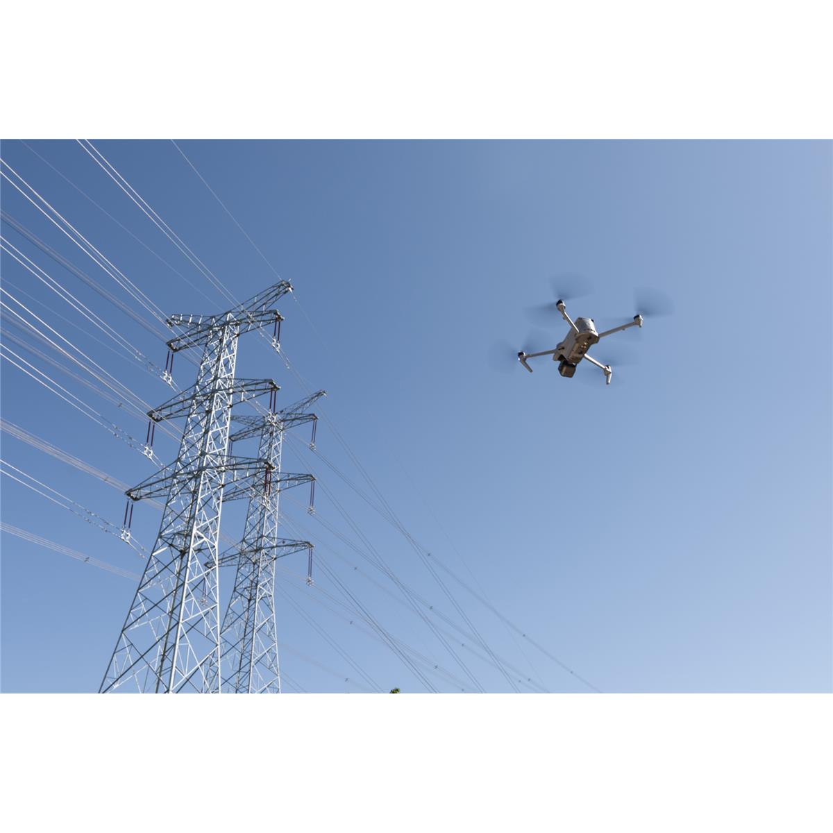
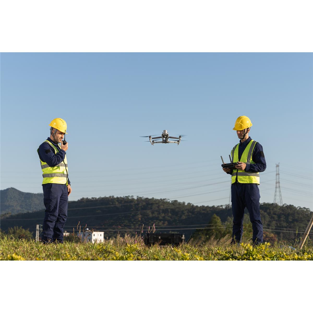
Drone technology provides utility companies with the ability to inspect power lines in real-time, offering immediate insights into the condition of infrastructure that may otherwise go unnoticed for weeks or months. Drones are equipped with high-resolution cameras, infrared sensors, and thermal imaging capabilities that allow inspectors to quickly identify potential issues, such as damaged lines, faulty equipment, or overheating components, without having to physically access the site. This means that inspectors can detect problems before they lead to outages, reducing the risk of system failures and minimizing downtime.
Construction Sites
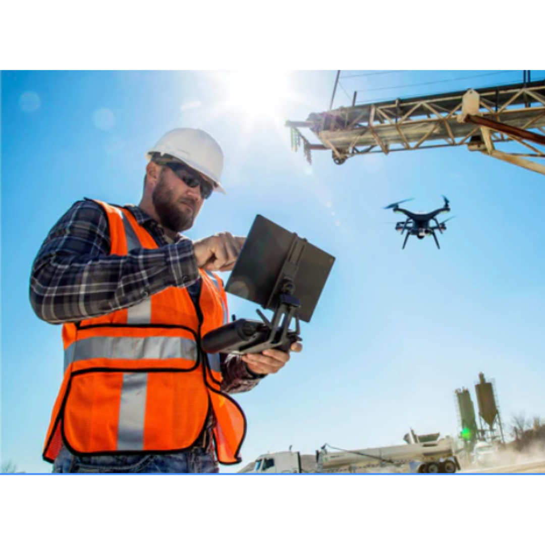
When it comes to construction, even the smallest miscalculation can lead to significant delays, rework, and increased costs. Drones offer a level of accuracy and precision that traditional surveying and inspection methods simply cannot match. Equipped with high-resolution cameras, LiDAR sensors, and GPS technology, drones can capture highly detailed aerial images, 3D models, and topographic maps of construction sites with pinpoint precision.
This advanced technology enables your team to capture accurate measurements and create detailed digital models that reflect the current state of your site in real time. Whether you’re tracking earthwork progress, monitoring material stockpiles, or mapping out complex terrain, drones ensure that all data is captured with maximum accuracy, reducing the risk of costly errors.
DOT Mapping
State Departments of Transportation (DOTs) are tasked with the essential responsibility of maintaining and upgrading the vast networks of roadways, bridges, and infrastructure that keep our transportation systems running smoothly. Traditionally, the process of inspecting, surveying, and planning for these projects has involved time-consuming, resource-draining methods that require heavy machinery, field crews, and long hours. But with the rise of drone mapping technology, DOTs now have access to a more efficient, cost-effective, and non-disruptive solution that enhances their ability to manage and maintain infrastructure.
